According to a stark warning from the UN, the world must prepare for the return of the supercharged weather pattern El Niño before September.
The World Meteorological Organisation (WMO) say there is an 80 per cent chance of the cyclical phenomenon forming in the next three months, and a 90 per cent chance of it then continuing into November.
Last month researchers stated that the powerful natural weather pattern, which raises global temperatures and worsens some rainfall, could make this year the hottest on record.

Now, António Guterres, the UN secretary-general, has upped the stakes, saying scientists ‘must treat it as the urgent climate warning it is’.
‘El Niño conditions will pour fuel on the fire of a warming world,’ he said. ‘Impacts will hit even harder, travel even farther, and cross borders with devastating speed.
‘The only effective response is climate action equal to the crisis – ending the addiction to fossil fuels, accelerating the shift to renewables, protecting the most vulnerable, and delivering early warning systems for all.’
What is El Niño?
El Niño translates from Spanish as ‘Little Boy’ and originally referred to the periodic warming of sea surface temperatures along the tropical west coast of South America, particularly near Ecuador and Peru, and was first used by Peruvian fishermen.
During El Niño, winds blowing west along the equator slow down, and warm water is pushed east, creating warmer surface ocean temperatures.

The phenomenon is typically associated with increased rainfall in parts of South America, the southern United States, the Horn of Africa and central Asia.
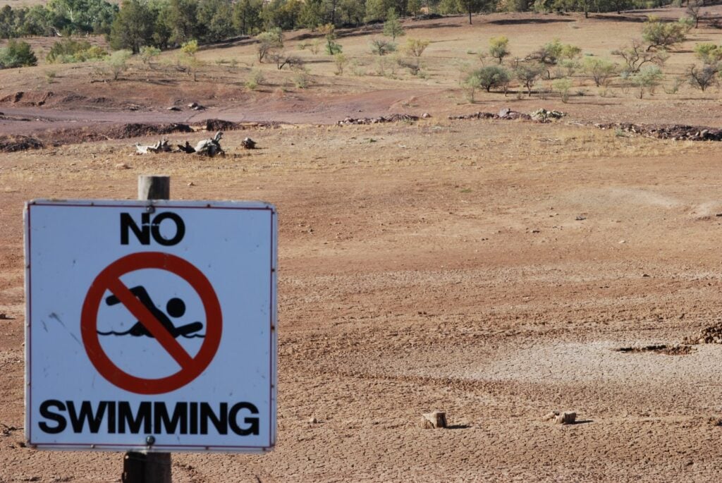
In contrast, El Niño can also cause severe droughts over Australia, Indonesia, parts of southern Asia, Central America and northern South America. The warm waters can also fuel hurricanes in the central and eastern Pacific Ocean.
El Niño occurs every two to seven years and typically lasts between nine and 12 months, although stronger events can persist for more than a year.
The most recent El Nino, which hit in 2023-24, was one of the five strongest on record and contributed to a year – 2024 – that broke global temperature records.
Part of the reason why scientists expect a strong event in the coming months lies deep below the ocean surface.
Data from satellites, buoys and ocean floats currently indicate a huge wave of unusually warm water – more than 6C above average in places – moving eastwards across the Pacific, hundreds of metres deep.
The warmth of these waters ‘rivals some of the strongest El Niño events we have seen, said Michelle L’Heureux, a physical scientist at the US science agency National Oceanic and Atmospheric Administration (NOAA) Climate Prediction Centre.
The findings come as Western Europe emerges from an unusually hot May in which temperature records for the month were broken in the UK and Ireland, while France and Spain also experienced heatwaves.